Map Ruler Sets for the National Geographic Trails Illustrated Map Series
Product Description
This ruler set was designed to be used with the National Geographic Trails Illustrated Map Series. It contains rulers for measuring statute miles and kilometers at the 35 different map scales used in the series.
Most (all?) of the maps in the series have UTM grids printed on the maps. The kilometer edge of these rulers can be used to measure the easting and northing vales of a UTM coordinate.
These rulers are somewhat different than our regular plastic rulers...
- They are printed on 10 mil plastic stock.
- They are 1.5 inches wide and 8.5 inches long.
We make these rulers using our custom ruler printing process. If you have need of a map ruler that not in one of our sets, check out the custom map ruler design page.
Add to Shopping Cart
Specifications
Scales:- 1:14,000 x 1.5 mi.
- 1:14,000 x 2.5km
- 1:15,000 x 1.0 mi
- 1:15,000 x 2.5km
- 1:20,000 x 2 mi
- 1:20,000 x 3.5km
- 1:22,000 x 2.5 mi
- 1:22,000 x 4km
- 1:22,500 x 2.5 mi
- 1:22,500 x 4km
- 1:24,000 x 2.5 mi
- 1:24,000 x 4.5km
- 1:25,000 x 3 mi
- 1:25,000 x 4km
- 1:27,500 x 3 mi
- 1:27,500 x 5km
- 1:30,000 x 3.5 mi
- 1:30,000 x 5km
- 1:31,680 x 3.5 mi
- 1:31,680 x 6km
- 1:35,000 x 4 mi
- 1:35,000 x 6km
- 1:37,700 x 4 mi
- 1:37,700 x 7km
- 1:40,000 x 4 mi
- 1:40,000 x 7km
- 1:40,680 x 5mi
- 1:40,680 x 7km
- 1:45,000 x 5 mi
- 1:45,000 x 8km
- 1:50,000 x 5 mi
- 1:50,000 x 9km
- 1:55,000 x 6 mi
- 1:55,000 x 10km
- 1:63,360 x 7 mi
- 1:63,360 x 12km
- 1:65,000 x 7 mi
- 1:65,000 x 12km
- 1:70,000 x 8 mi
- 1:70,000 x 13km
- 1:75,000 x 8 mi
- 1:75,000 x 14km
- 1:80,000 x 9 mi
- 1:80,000 x 15km
- 1:90,000 x 10 mi
- 1:90,000 x 17km
- 1:100,000 x 12 mi
- 1:100,000 x 19km
- 1:110,000 x 13 mi
- 1:110,000 x 20km
- 1:125,000 x 15 mi
- 1:125,000 x 24km
- 1:126,720 x 15 mi
- 1:126,720 x 24km
- 1:133,333 x 15 mi
- 1:133,333 x 25km
- 1:165,000 x 19 mi
- 1:165,000 x 30km
- 1:225,000 x 25 mi
- 1:225,000 x 40km
- 1:240,000 x 28 mi
- 1:240,000 x 45km
- 1:250,000 x 30 mi
- 1:250,000 x 45km
- 1:300,000 x 35 mi
- 1:300,000 x 55km
- 1:350,000 x 40mi
- 1:350,000 x 65km
- 1:400,000 x 45 mi
- 1:400,000 x 75km
- 1:1 x 7 inches
- 1:1 x 190mm
Height: 8.500 in. (216mm)
Width: 3.000 in. (76mm)
Thickness: 0.300 in. (8mm)
Made in US.
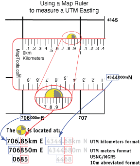
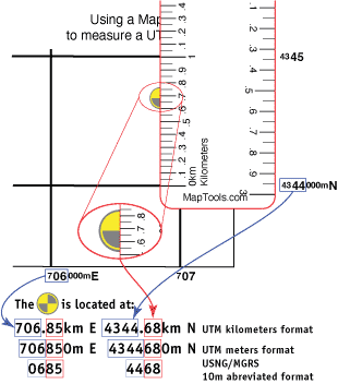
Using a map ruler kilometer edge to plot/measure a UTM position
Here is information on using the Universal Transverse Mercator coordinates (UTM).
Here is information on using the United States National Grid (USNG).
Here is information on using the Military Grid Reference System (MGRS).